Current Weather Info for the Trimble, MO and Smithville Lake area
Information last updated at 09:55 on 04 July 2026.
The current temperature is 72.9°F. Yesterday at this time it was 86.2°F. The wind is blowing at a Light air from the WNW at 1.0 mph and gusting to 4.0 mph. The wind chill is 72.9°F. The barometric pressure is 29.986 and Steady at 0.004 in./hr. The dew point is -33.5°F creating a Relative Humidity of 1%. Rainfall so far today is 0.01 in. with 0.00 in. in the last hour and 0.21 in. during the last 24 hours.
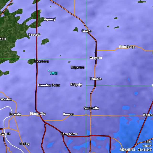
Click on any of the thumbnail images for more detailed info:


Local 7-day forecast. Click for forecasts from additional sources:
Forecasted rainfall amount for the next 24 hours:
 As always, please feel free to drop a note here with any comments or suggestions you may have.