Storm Radars
The following radar images are produced by GRLevel3 software using the most current radar image from the National
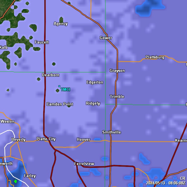
Weather Service in Pleasant Hill, Missouri. The radar is located 42.5 miles to the SSW. At this distance the beam for Level 1 (.5 degrees) is about 3500 ft above my house and Level 2 (1.5 degrees) is just over 8,000 ft overhead. The radar maps are centered around the Trimble, MO and Smithville Lake area. For a more in depth description of the radar terminology please visit this site
This page display best in Firefox with a monitor resolution of 1280x960. If I get enough requests I'll create a secondary page for use with lower resolution monitors. Visit the comments page and let me know.
Base Reflectivity
Left image is BR1 and the right image is BR2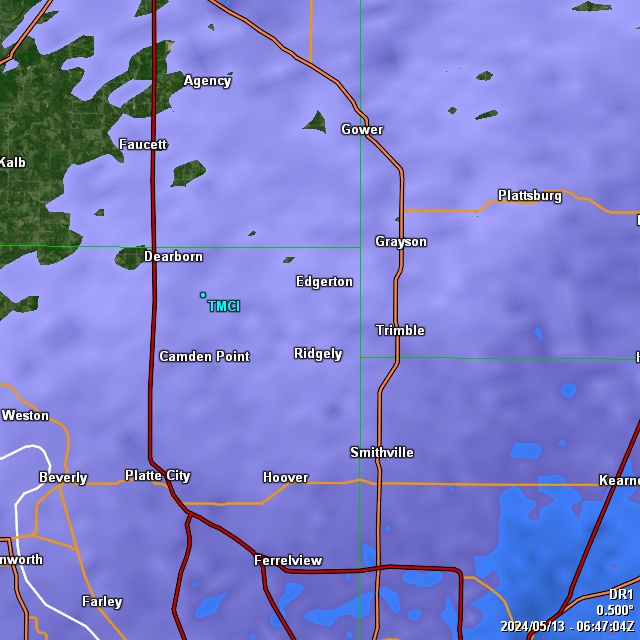

Base Velocity
Base Velocity is the speed in which the reflected object is moving away from or towards the radar site. Warm colors are moving away from the radar site and Cool colors are moving towards the radar site.
Left image is BV1 and the right image is BV2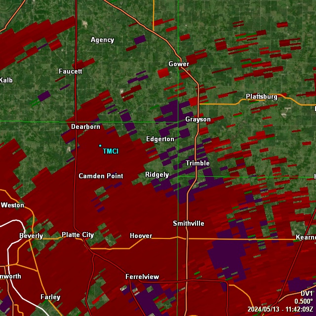

Storm Relative Velocity
Storm Relative Velocity is the speed in which the reflected object is moving away from or towards the radar site. The difference between this and Base Velocity is that the motion of the storm is accounted for. This radar helps identify rotation in the storm.
Left image is SRV1 and the right image is SRV2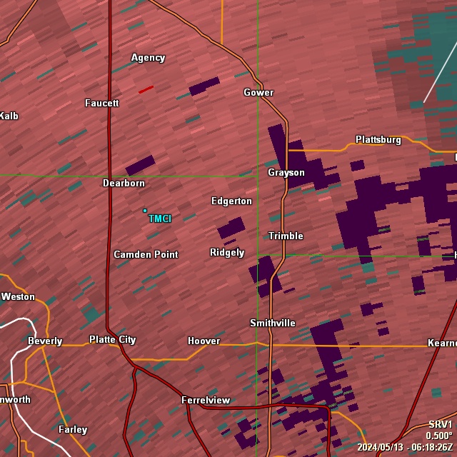

Echo Tops and Vertically Integrated Liquid
Echo Tops are the altitude of the top echoes and Vertically Integrated Liquid is the amount of liquid in the echo return
Left image is Echo Tops and the right image is VIL
Composite Reflectivity and Storm Total Rain
Composite Reflectivity is maximum value detected for all of the radar types. Storm Total Rain is the amount of doppler estimated rainfall that has occurred since the onset of the storm.
Left image is Composite Reflectivity and the right image is Storm Total Rainfall